There are no comments for this product
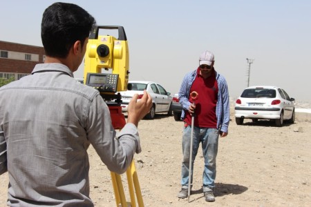
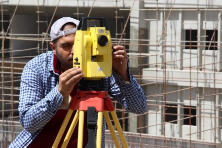
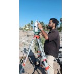
Performing all mapping services by Geopi Alborz engineers
By guaranteeing the lowest price, we deliver the highest accuracy and the best quality of work.
Providing free consultation in all fields of mapping
Carrying out mapping services by mapping engineers with the seal and signature of the engineering system and official experts of the judiciary and the judiciary in the field of registration and mapping throughout Iran.
Some of the services that can be provided by Geopi Alborz engineers include:
- Area, harvesting and separation of land (separation of land and gardens)
- Implementation of separate parts
- Location of the property
- Obtaining the dimensions and sizes of the land
- Determination of height and floor
- Accurately guiding the installation of industrial equipment and calibration control
- Calculate the volume of earthworks
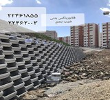
- Preparation of topographic maps in all scales
- Preparation of urban and non-urban cadastre property registration maps
- Preparing a map of Ezbilt
- Preparation of UTM maps in the Shamim system
- Preparation of undocumented property maps (Article 147)
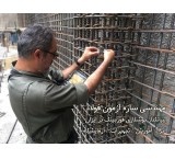
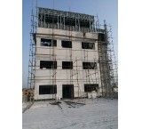
- Implementation of points, columns, foundations and vertical control of columns
- Implementation of metal and concrete structure plates
- Landscaping
- Vertical mast test (alignment)
- Implementation and control of the walls of deep excavation sites (monitoring)
- Mapping and placement of the facade of the Spider building, composite
- Building and land mapping
- Carrying out all GPS services and projects
- Preparation of GIS maps
- Carrying out needs assessment and feasibility studies in the field of GIS
- Preparation of spatial and descriptive data for entry into GIS
- Design and implementation of geodatabases (GeoDatabase)
- Preparation of maps from aerial photographs
- Aerial photography and mapping with a drone
- Preparation of vertical photos (orthophoto mosaic)
- preparing a digital model of the earth from the photo (DTM, DSM, DEM)
- Preparation and updating of city and settlement statistical maps of the block
- Preparation and updating of rural statistical maps
- Seal and signature of the engineering system
- The seal and signature of the official expert of the judiciary and judiciary in the field of registration and mapping
- Supplying the mapping team with complete equipment
There are no comments for this product


Jooyeshgar AI Assistant