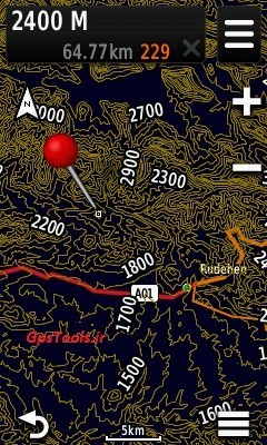
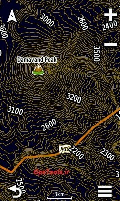

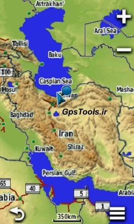
GPS map Garmin - the entire topography of the Iran توضیحات product : پوشش 100% of Iran فاصله curves, the amount of sub 20 meters. فاصله curved main to 100 meters. به cell installation guide in the Zip file قابل use in the GPS, the Garmin Garmin, including: eTrex 2(At the bottom of the ad)x - 30x - touch 25 - touch35 GpsMap 62s - 72h - 64s - 64 - 66s Oregon 55(At the bottom of the ad) Montana 800 - 850 Montra دستگاه transportation and sports, including: nuvi - desel دستگاه cycling, including: Edge ساعتهای Garmin, including: Fenix5x AND . . . مدل that this product is not supported: دستگاه series : +Inreach explorer and like it eTrex vista - GpsMap 76csx AND . . . how to get محصـول: پس of choice and pay online. the download link will be displayed. http://www.GpsTools.ir
ICON for business calls or to support multimedia message send. آیدی: Gps_Tools
| Company | فروشگاه نقشه گارمین |
|---|---|
| Tel | +98 11-4×××1541 |
| Mobile | +98 911×××7889 |
| Website | http://www.GpsTools.ir |
| Country | Iran |
| Province | Mazandaran |
| Address | خیابان شیخ فضل الله نوری - فجر 29 - بهار 3 |