Company map journalists miner barking
-
Company registration date: -
-
Number of staff: 1-10 Person
-
Company activities: Service company
-
Place: Iran, Province Tehran
-
In the field of: Contracting
-
Company Type: Private
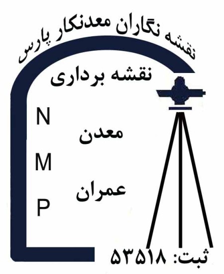
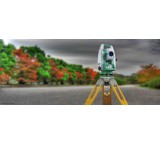
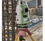
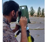
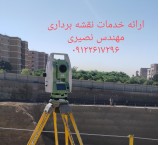
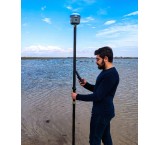
Topography, etc. دپوگرافی., the cadastre, etc., GIS., the Geodesy and the breakdown of the land, preparation of maps مسطحاتی and UTM of real estate, GPS, two فرکانسه, etc. calculations of volumes and preparation of cross sections, etc., geology, etc. counseling, geophysics, etc. geochemistry, etc. drilling, etc. لاگینگ, evaluation, design, pit extraction, and Route, Project Control and ... by experienced professionals with the use of the software, Datamine, etc. Surpac, etc. Cad, Land, etc. Civil3D, etc. SDRmap, and. MSP, and. Taksa, etc. Logplot.
کریمی 09395864388
Topography, etc. دپوگرافی., the cadastre, etc., GIS., the Geodesy and the breakdown of the land, preparation of maps مسطحاتی and UTM of real estate, GPS, two فرکانسه, etc. calculations of volumes and preparation of cross sections, etc., geology, etc. counseling, geophysics, etc. geochemistry, etc. drilling, etc. لاگینگ, evaluation, design, pit extraction, and Route, Project Control and ... by experienced professionals with the use of the software, Datamine, etc. Surpac, etc. Cad, Land, etc. Civil3D, etc. SDRmap, and. MSP, and. Taksa, etc. Logplot.\r\nکریمی 09395864388
Topography, etc. دپوگرافی., the cadastre, etc., GIS., the Geodesy and the breakdown of the land, preparation of maps مسطحاتی and UTM of real estate, GPS, two فرکانسه, etc. calculations of volumes and preparation of cross sections, etc., geology, etc. counseling, geophysics, etc. geochemistry, etc. drilling, etc. لاگینگ, evaluation, design, pit extraction, and Route, Project Control and ... by experienced professionals with the use of the software, Datamine, etc. Surpac, etc. Cad, Land, etc. Civil3D, etc. SDRmap, and. MSP, and. Taksa, etc. Logplot.\r\nکریمی 09395864388